


Digital Services

ASSESSMENT OF SOIL EROSION RISK
Ιn Strymon river basin, the Unit Stream Power Erosion and Deposition (USPED) model was used to estimate the soil erosion risk at the basin scale. The soil erosion factors were modeled using rainfall data from meteorological stations, soil texture, vegetation cover from MODIS satellite images, and a digital elevation model.
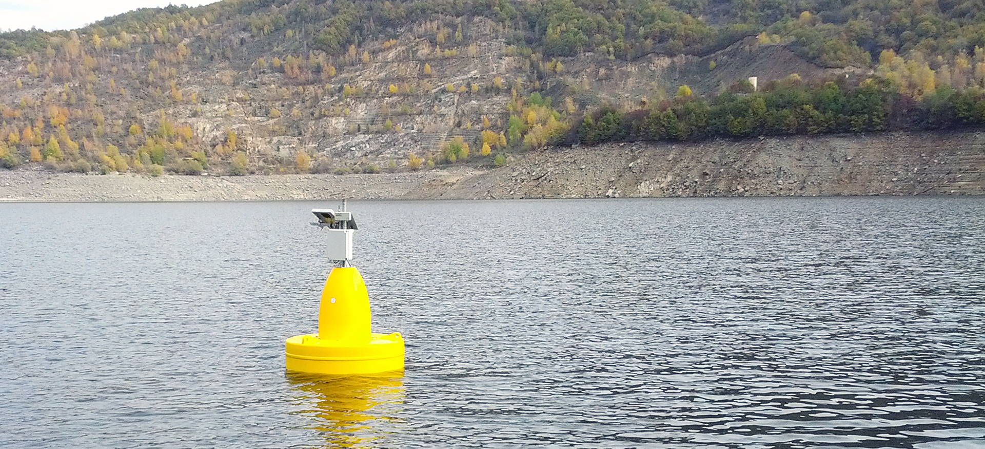
[RIVERALERT project]

BURNED AREA MAPPING
Several projects related to fire mapping have been carried out in Greece and the Mediterranean, such as the megafire of Peloponnese in 2007. Advanced classification techniques have been used to process satellite images of various scales. The resulting maps are useful in the assessment of damages and designing management plans.


UPDATING THE IRRIGATION WELLS MAP
The numerous irrigation wells of Lake Koronia basin, were counted, using spatial statistics, the irrigated area and irrigation intensity were estimated using satellite remote
sensing. i-BEC was able to suggest measures for the wise use of the water resources of the basin in relation to the on-going lake restoration plan.


VALUATION OF AGRICULTURAL WATER
Satellite remote sensing was used extensively to assess the degradation of natural ecosystems in Pinios, Strimonas and Nestos river plains and to estimate the actual water use and availability. These maps were incorporated into an economic model for the estimation of the operational, environmental and opportunity costs. The results
can be used by the relevant authorities for the appropriate pricing of irrigation water in order to promote incentives for water savings, according to the WFD.


MONITORING THE REEDS
This in-house project used a time series of 30 years of satellite images and overlay analysis in a GIS to monitor the progressive invasion of Phragmites Australis on the exposed sediment of Lake Koronia, as the water was gradually retreating. The results revealed one of the expansion rate reported in literature, which is directly linked to the lake’s water decline.

MAPPING AQUACULTURES
Several satellite images were tested to evaluate their use in mapping pole and long-line mussel farms in Thermaikos Gulf. The results showed the location, the extend and the density of the farms in relation to the protected wetland.
LAND COVER MAPPING AND CHANGE DETECTION
Satellite images with concurrent field surveys are used to identify and map land cover, using various image classification methods. Comparison of results for two years reveals changes in agricultural activities and other environmental pressures, as well as the impact on the ecosystems.
MAPPING MARINE HABITATS
Within this LIFE+ project, very high resolution satellite images were enhanced and then used in tandem with echo-sounder scanning to map the location and extents of marine habitats, focusing on Posidonia oceanica seagrass meadows in Natura sites.
MAPPING COASTAL HABITATS
Various satellite images at high resolution were used to update the old habitats’ maps, employing image classification, computer assisted photo-interpretation and other digital image processing techniques of several coastal Greek wetlands. The results show the location of coastal habitats, their changes over time and were used to compute landscape metrics.

Digital Applications
WebGIS - WebIMS
- Autonest - Automated Telemetric applications for operational monitoring in Nestos River Basin
- Riveralert - Decision Support System for flood risks alert in Strymon/Struma River Basin
- e-highway - Environmental Highway Observatory
- Eyecoast - Development and implementation of Integrated tools in Coastal Zone Management of Thermaikos Gulf: Pilot implementation in the western coastal area
- ECO-Satellite - Development of a common intraregional monitoring system for the environmental protection and preservation of the Black Sea
- Florina - The purpose of the program is the rational use of irrigation water by farmers of EE Florina by implementing Advisory irrigation via On-line support of the rural population using recording technology in real time.
- DEH - e-tool for the Nestos river basin water quality data viewing and DSS
- ΤΟΕΒ Νιgritas - e-tool for the Strymon river basin meteorological data viewing
Decision Support Systems - Early Warning Expert Systems
- Riveralert - Decision Support System for flood risks alert in Strymon/Struma River Basin
- Autonest - Automated Telemetric applications for operational monitoring in Nestos River Basin
- e-highway - Environmental Highway Observatory
e-tools
- Adcon Telemetry - Commercial software for viewing telemetry data in graphical and in table form.
- Projects Telemetry - Custom Tool developed by the Balkan Environment Center for the viewing of the telemetry data records per project
- BEC Telemetry - Custom Tool developed by the Balkan Environment Center for the control of the telemetry data records
- Florina project - Irrigation Calculation Tool. The purpose of the program is the sustainable use of irrigation water by farmers of EE Florina by implementing Advisory irrigation via On-line support of the rural population using real time telemetry monitoring technology.
- Wetlabuse - Software developed for the creation of a common database of the network of chemical laboratories filled with homogeneous results and meta-data.
- Wetlabuse -Software developed for e-registry water quality users as well as serving electronic licensing of water use
- Autonest - Telemetry Autocorrection & Debugging software