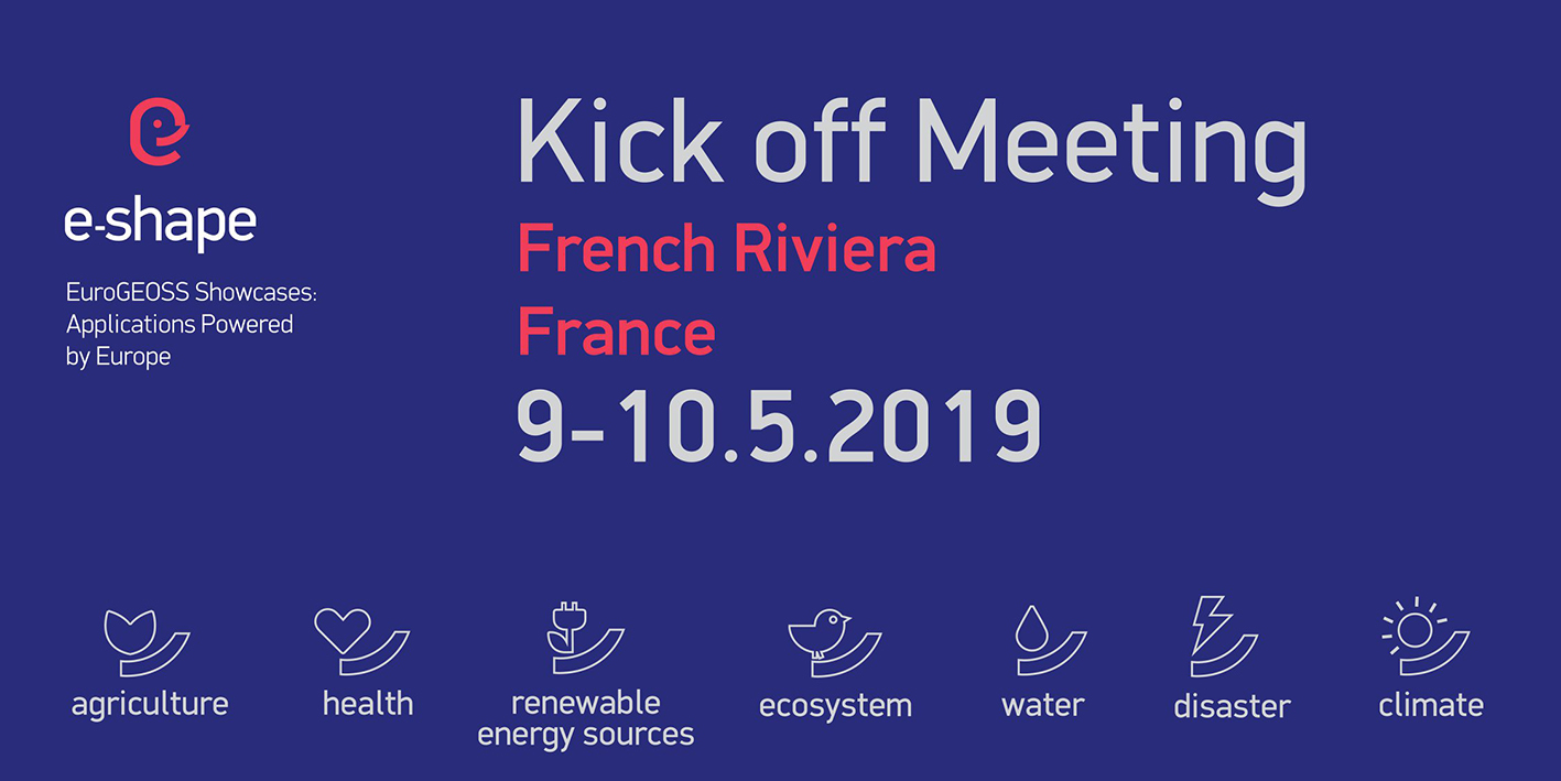
e-shape Press Release
Launch of the new H2020 project e-shape for strengthening the benefits for Europe of the Global Earth Observation System of Systems (GEOSS) – establishing ‘EuroGEOSS’
e-shape (EuroGEOSS Showcases: Applications Powered by Europe), a new project coordinated by ARMINES and funded under the European Union’s Horizon 2020 Programme was successfully launched in Cannes, France on 9-10 May 2019.
e-shape is an unprecedented initiative that brings together decades of public investment in earth observation and in cloud capabilities into services to the citizens, the industry, the decision-makers and the researchers. e-shape will promote the development and uptake of 27 cloud-based pilot applications, addressing the Sustainable Development Goals, The Paris Agreement and the Sendaï Framework. The pilots will build on GEOSS and on the Copernicus data pool and computational infrastructure.
The e-shape pilots will provide concrete, actionable services regarding food security and sustainable agriculture, health surveillance (pollutants), renewable energy, ecosystem monitoring, water resources management, disasters resilience and climate monitoring.
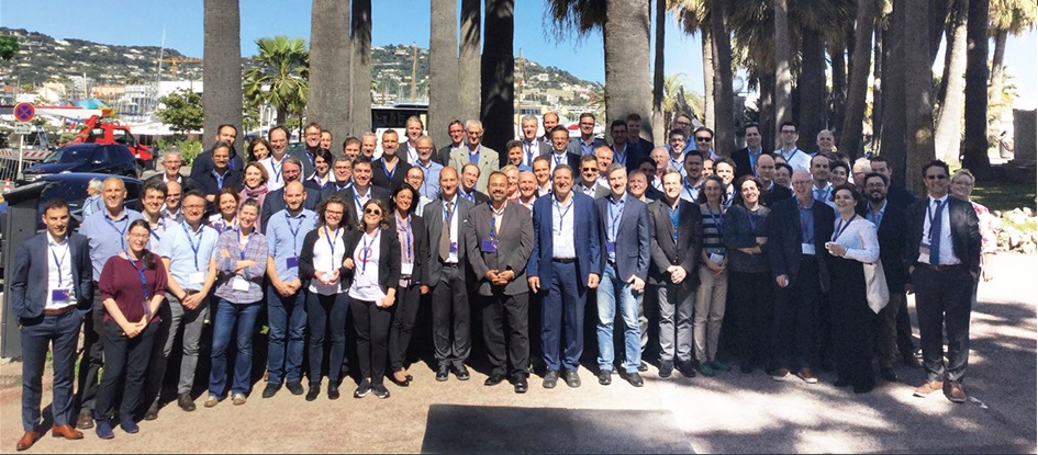
The first general assembly meeting gathered more than 100 delegates of the 54 consortium members from 17 European countries, Ethiopia, Egypt and Israel.
Erwin Goor, the e-shape Project Officer stated that “e-shape can significantly increase the collaboration between European EO companies: sharing knowledge, experiences and data; building on each other’s strengths.”
e-shape emerged from the Global Earth Observation (GEO) Initiative, which initiated regional clusters : AmeriGEOSS (Americas), AfriGEOSS (Africa) and EuroGEOSS (Europe), nesting e-shape. e-shape is the EU contribution to Global Earth Observation (GEO) under the EuroGEOSS initiative.
The main objectives of the e-shape project is to:
- Coordinate EO actions and leveraging on existing resources and capacities in the presently fragmented landscape of EO in Europe;
- Deliver concrete EO-derived benefits to users through a rigorous documented co-design process;
- Implement a comprehensive portfolio of user uptake, operationalization, business support and outreach activities towards the sustainable exploitation of EO services;
- Onboard new high profile EO based pilots developed outside the project and to give them access to the strategic knowledge and communication channels derived from the e-shape activities.
e-shape is driven by the need to develop operational Earth Observation (EO) services with and for the users and to create a conducive environment whereby the strengths of Europe are exploited towards addressing societal challenges, fostering entrepreneurship and supporting their sustainable development through addressing the three main priorities of GEO (SDGs, Paris Agreement and Sendaï Framework).
e-shape will deliver a comprehensive suite of EO services to EU citizens, researchers, businesses and policy makers through the implementation of 27 pilots spanning 7 thematic areas aligned with UN Sustainable Development Goals and GEO Societal Benefit Areas: food security, health, renewable energy, biodiversity, water resources, disaster resilience and climate. These pilots have been carefully selected to ensure scientific and technological excellence, addressing key societal challenges, and leveraging existing results from previous projects to effectively meet user demands. Researchers, SMEs and companies that develop EO-based services in the context of the pilots, will benefit from e-shape through access to knowledge, access to markets and guidance for facilitated access to capital. This will enforce the sustainable delivery of EO-based benefits to users.
The goal of e-shape is not to build a new IT platform but to reveal how to take the best advantage of the existing distributed assets. From the data architecture point of view, e-shape is a federation of platforms and services in the most open, standard and interoperable way as possible.
The EuroGEOSS vision is to significantly increase the benefits for Europe regarding its participation within GEO through improving user uptake of the data from GEO assets and harvesting the environmental information produced through the GEO flagships and initiatives.
Thierry Ranchin, Scientific coordinator of e-shape closed the meeting with the message “e-shape is a great opportunity to support EuroGEOSS within GEO and to showcase the strengths and the tremendous contributions of Europe for and with users”
Acknowledgment.
The e-shape project has received funding from the European Union’s Horizon 2020 research and innovation programme under grant agreement 820852
Project Info
| Starting date: | 01/05/2019 | ||
| Project information: | 48 months | 54 partners | EU contribution 14 998 976.27 € |
| Call (part) identifier: | H2020-SC5-2018-2 | ||
| Topic: | SC5-15-2018 – Strengthening the benefits for Europe of the Global Earth Observation System of Systems (GEOSS) – establishing ‘EuroGEOSS’ | ||
| Coordinator: | ARMINES | ||
e-shape Showcases and Pilots:
| Showcases | Pilots |
| S1. Food Security and Sustainable Agriculture |
1. GEOGLAM (early warning system for global food production shortfalls) 2. EU-CAP_Support (improved efficacy of implementing CAP and its underlying principles of environmental stewardship) 3. Vegetation-Index Crop-Insurance in Ethiopia (drought insurance for smallholder farmers) 4. Agro-industry (increased resource use-efficiency of agroindustry) |
| S2. Health Surveillance |
5. EO-based surveillance of Mercury pollution (Minamata Convention) 6. EO-based surveillance of POPs pollution (Stockholm Convention) 7. EO-based pollution-health risks profiling in the urban environment (better understanding of air pollution effects on humans and the ecosystem) |
| S3. Renewable Energy |
8. Solar Energy nowcasting and short-term forecasting system (management support for solar energy plant operators) 9. High PV penetration in urban area (economic opportunities for solar energy through urban solar mapping) 10. Merging offshore wind products (better assessment of offshore wind energy potential to support investment) |
| S4. MyEcosystem |
11. mySPACE (better monitoring climate drivers in 25 protected areas) 12. mySITE (data provision, visualisation tools and ecosystem status indicators) 13. myVARIABLE (further implementation of essential biodiversity variables) |
| S5. Water resources management |
14. Improved historical water availability and quality information service (improved assessment of water availability and quality) 15. Satellite Earth Observation-derived water bodies and floodwater record over Europe (better estimation of flood hazard) 16. Diver Information on Visibility in Europe (coastal water quality monitoring) 17. Sargassum detection for seasonal planning (marine algae and plastics monitoring) 18. Monitoring fishing activity (more effective monitoring of fishing areas) |
| S6. Disasters Resilience |
19. Data for Detection, Discrimination and Distribution (4D) of Volcanic ash 20. GEOSS for Disasters in Urban Environment (improved resilience of cities, infrastructure and ecosystems to disasters) 21. Assessing Geo-hazard vulnerability of Cities and Critical Infrastructures 22. Resilient and Sustainable ecosystems including Agriculture and food |
| S7. Climate | 23. Global Carbon & GHG Emissions (improved accuracy of carbon emission monitoring to improve mitigation activities) 24. Urban resilience to extreme weather (better forecast of heat stress, rainfall and storms in urban areas) 25. Forestry conditions (more efficient forestry operations with lower environmental impact and carbon emissions) 26. Hydropower in snow reservoir (improved monitoring of snow reserves for hydro-electricity production) 27. Seasonal Preparedness (improved transportation safety in extreme climates and tourism impact indicators) |